There are additional markers around Llivia, an Spanish enclave within France.
The border is documented very well by Eef Berns (The bordermarkers of the Pyrenees).
I have visited only a small part of the border, in the surroundings of Llivia.
On my way walking from the train station of Latour de Carol - Enveitg towards Llivia on November 9th, 2025 I pass the markers 472, 473 and 474.
These were all coincidental finds, I had not prepared anything for this part of the border. Especially number 472 was hidden pretty well.
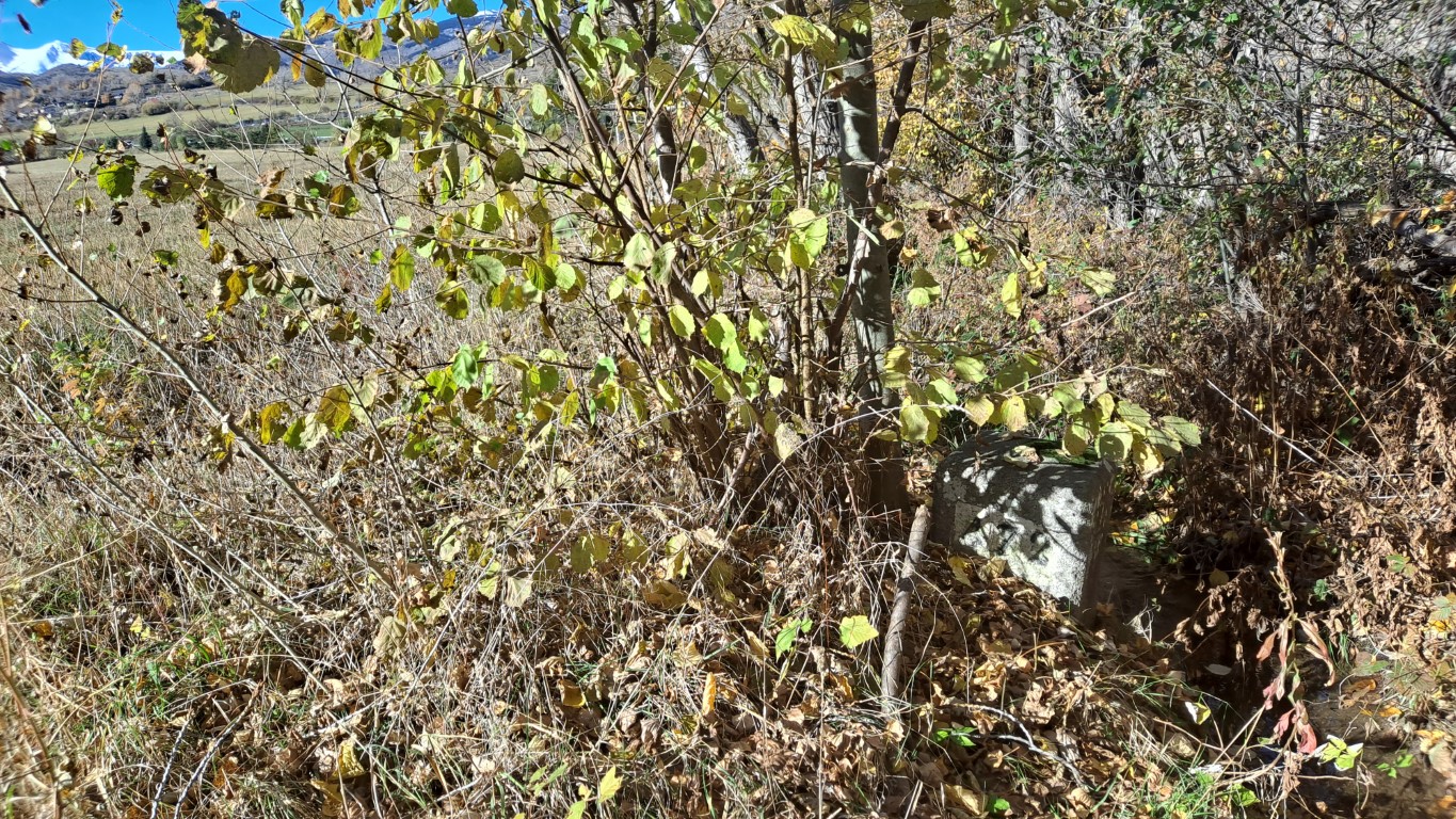
472
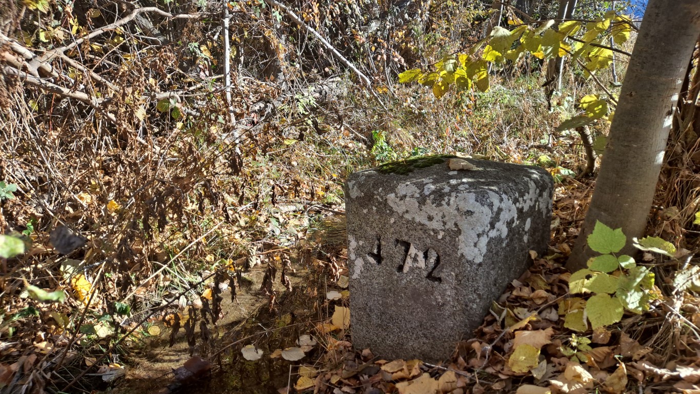
472
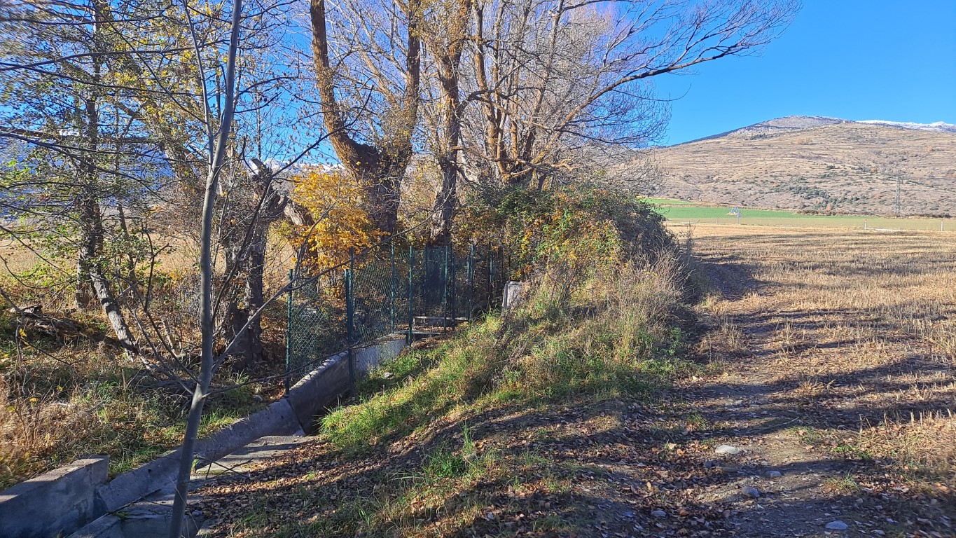
472
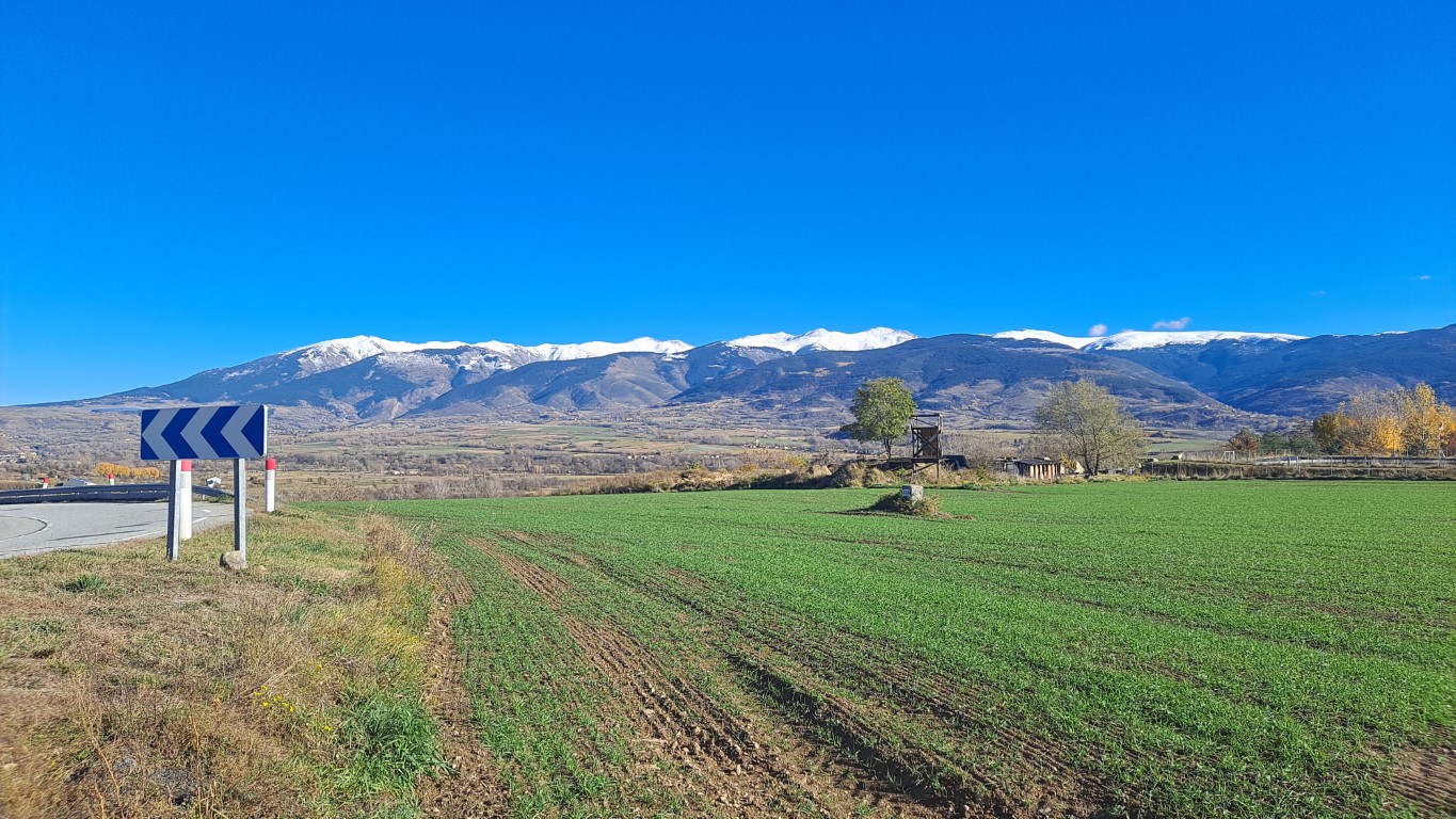
473
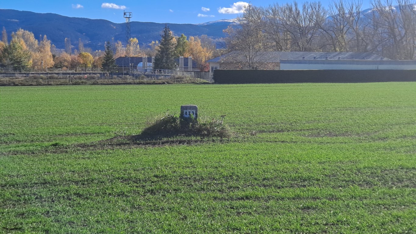
473
I even made a quick picture of marker 474, long before the start of my border marker hobby.
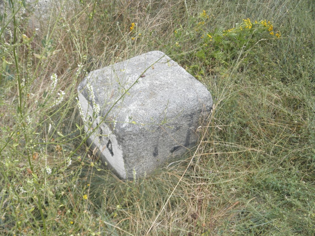
474 (2010)
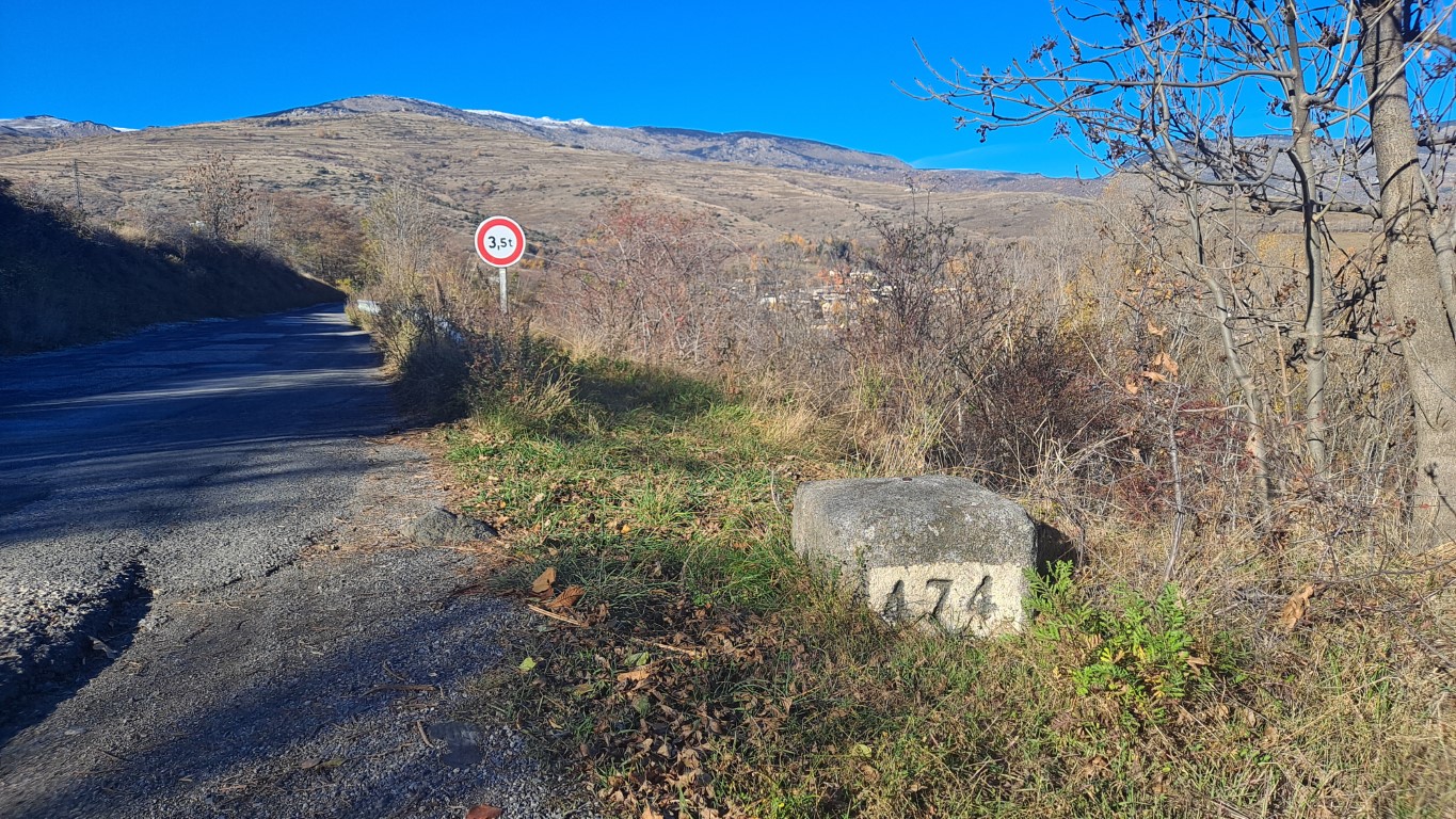
474 (2025)
On November 9th, 2025 I am also visiting the first border markers of Llivia. Number 1 is on the entrance road that connects Llivia with "mainland" Spain. This is a neutral road, Spanish people have always been allowed to use the road to travel to Spain. There has been some commotion regarding French stop signs along the road, I won't go in depth here, I recommend The Tim Traveller on this topic.
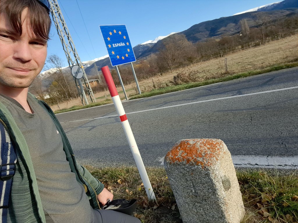
1
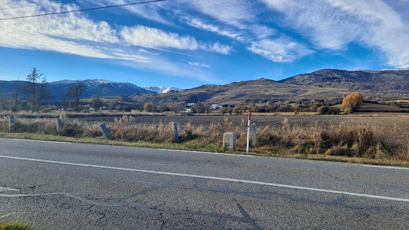
1
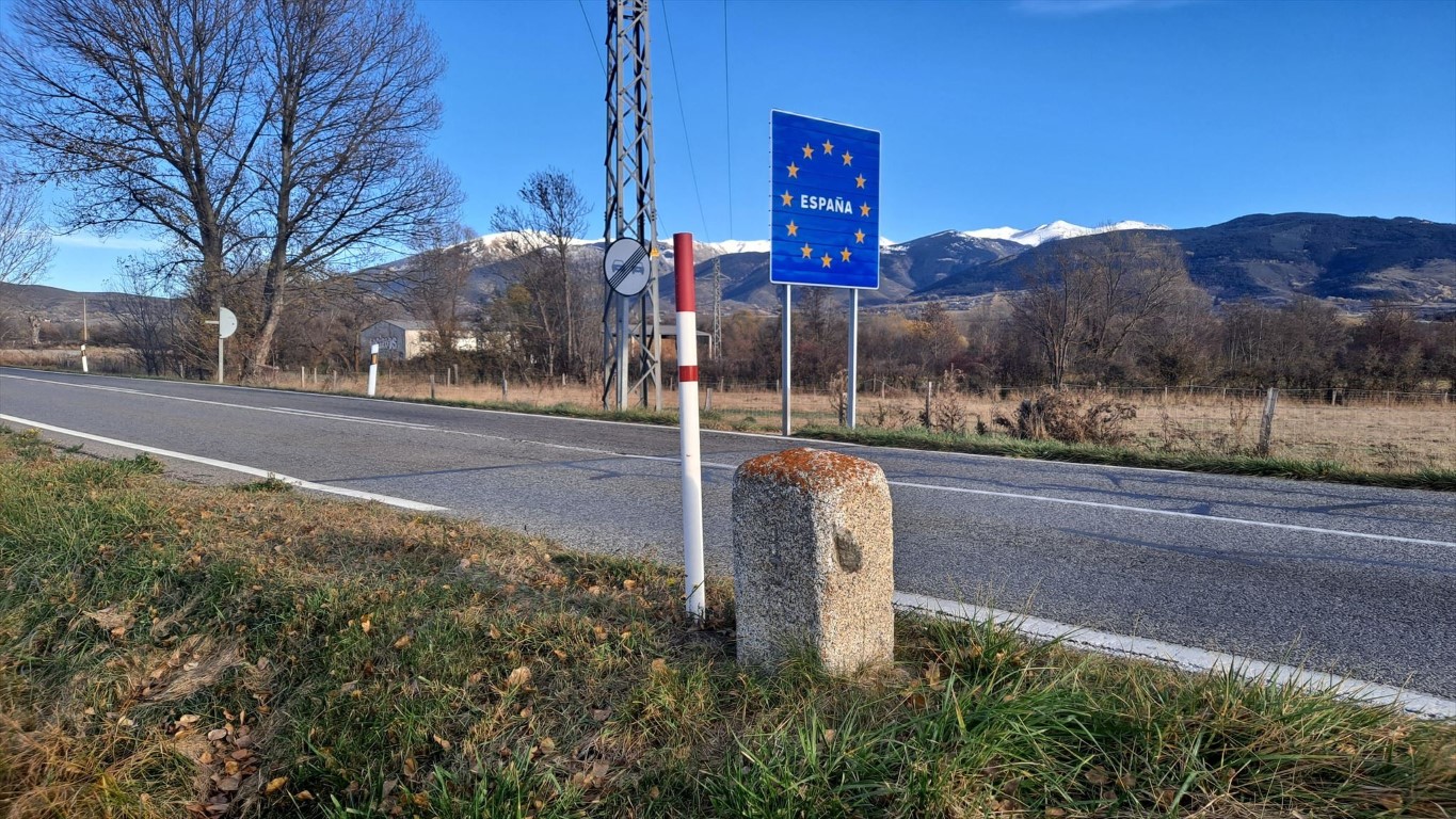
1
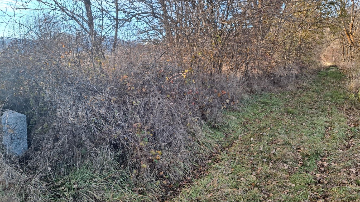
2
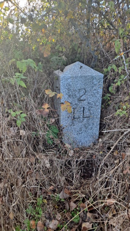
2
3
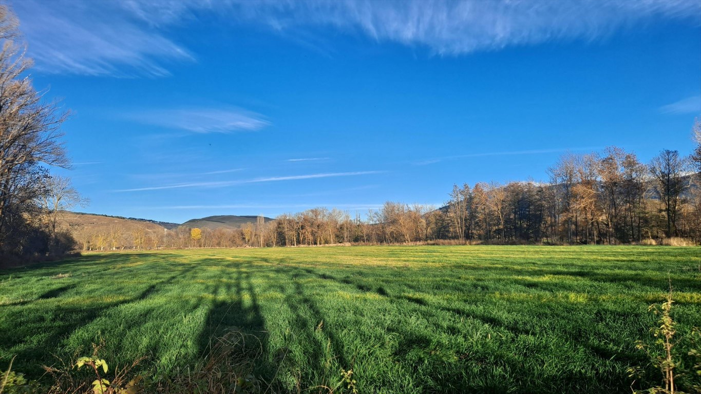
3
Marker 5 is actually very close to the path as well, but I didn't know that at the time. I did not visit marker 6, although I was pretty close to it the next day.
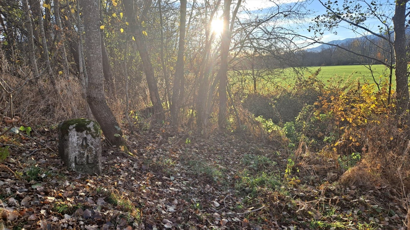
4

5 - 6
The next markers are actually the end of my walk on November 10th, 2025.
On this day I visited most of the border markers of Llivia, in reversed order.
Markers 7 and 8 are in the middle of fields. I can spot them both from the paths I'm following.
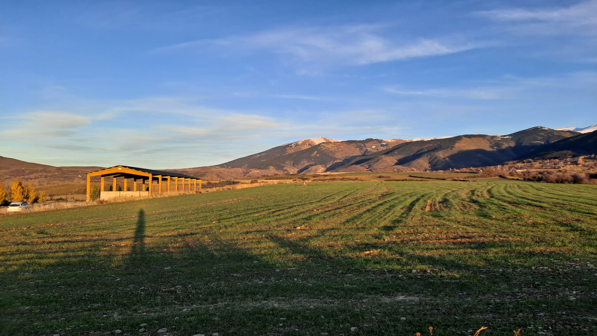
7
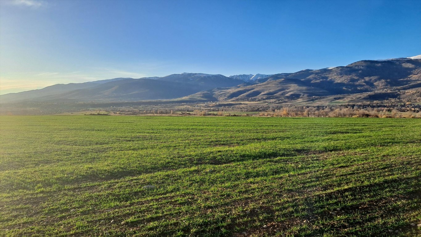
8
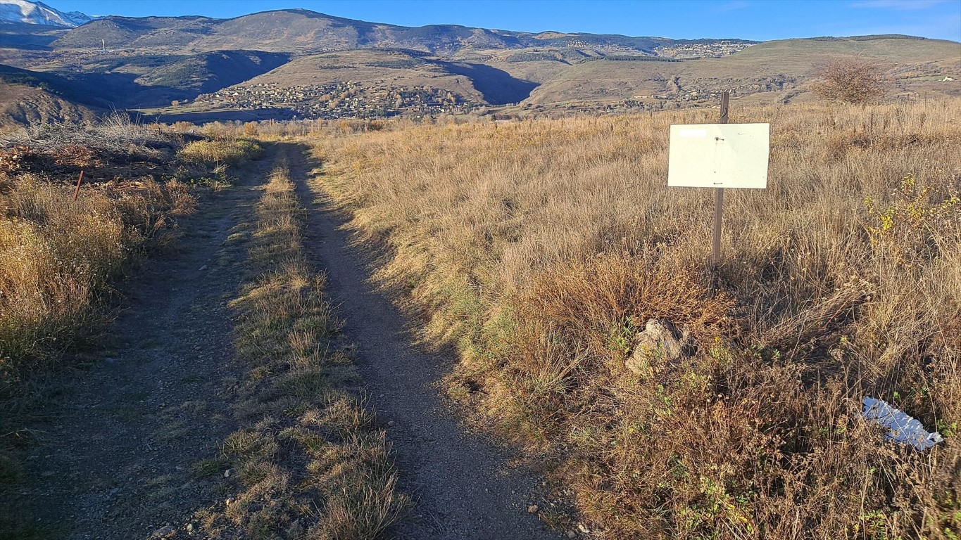
8 (path)
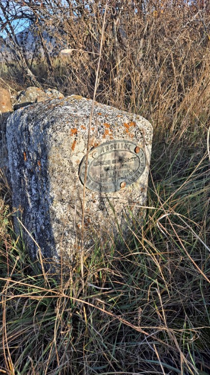
Marker 10 is also part of the French measuring point network, if I understand it correctly.
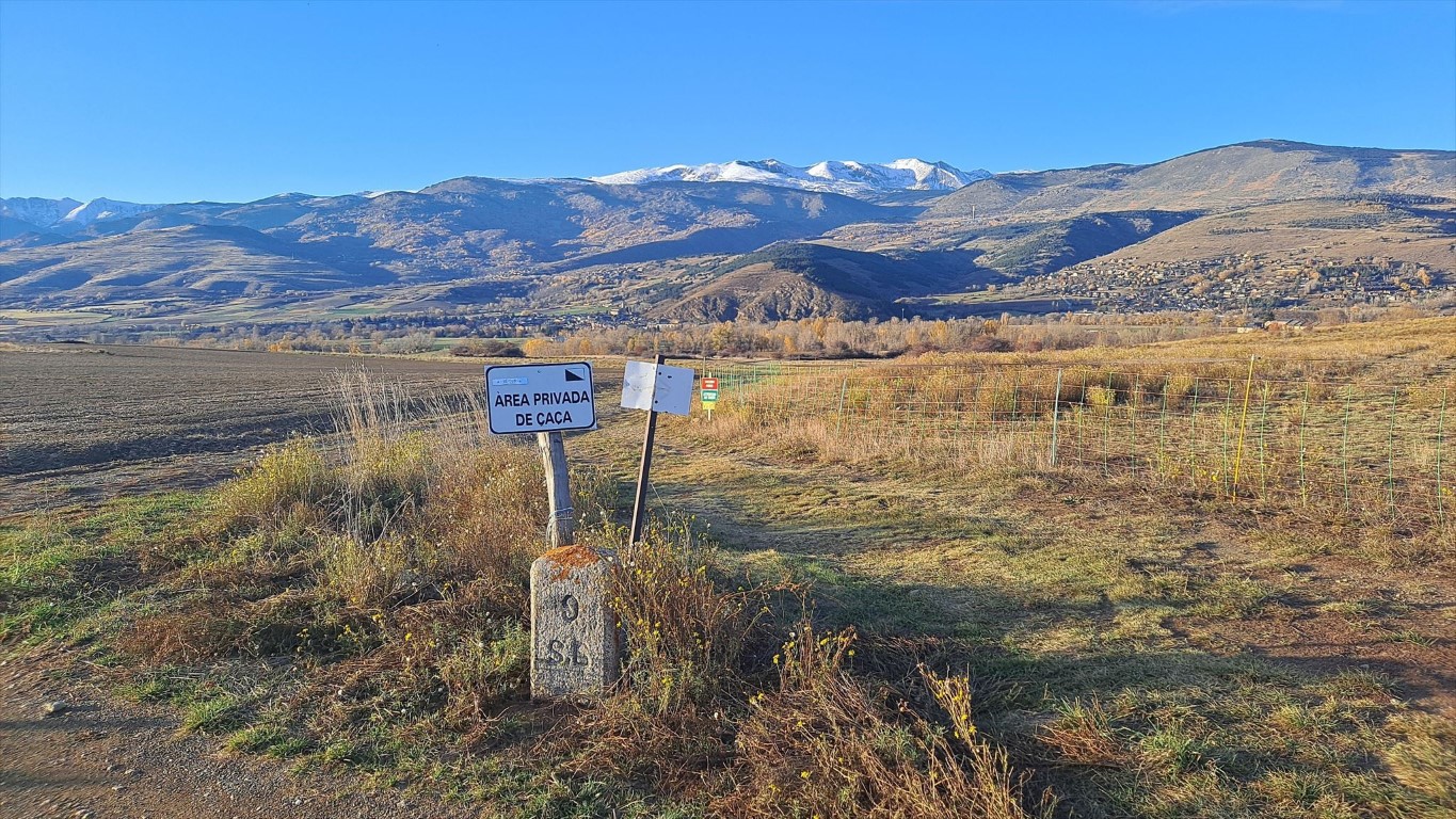
9
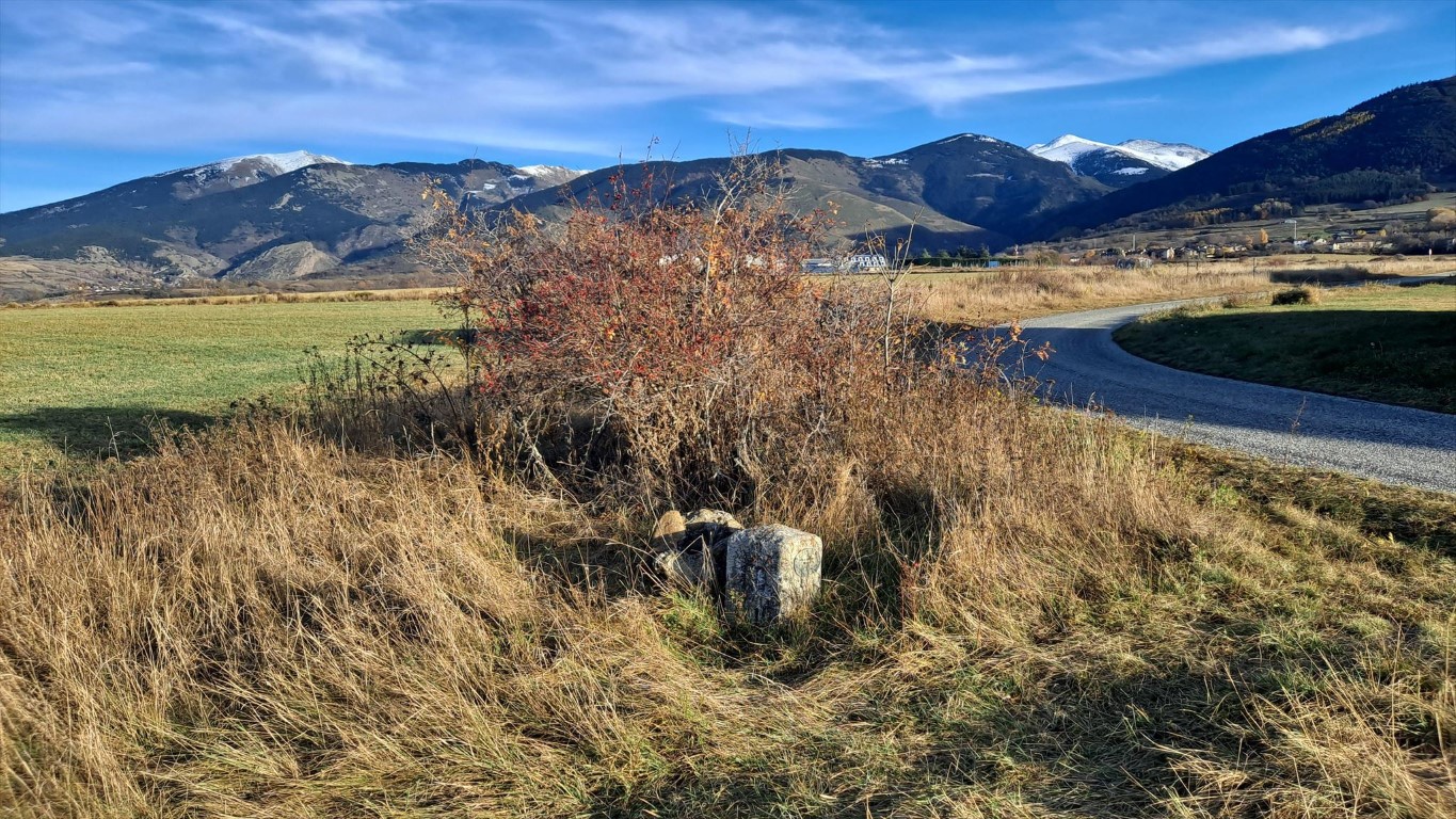
10
10
The way around through France took just as much time possibly, but it was the safer option. Between border markers 12 and 13 is a river that I probably couldn't cross.
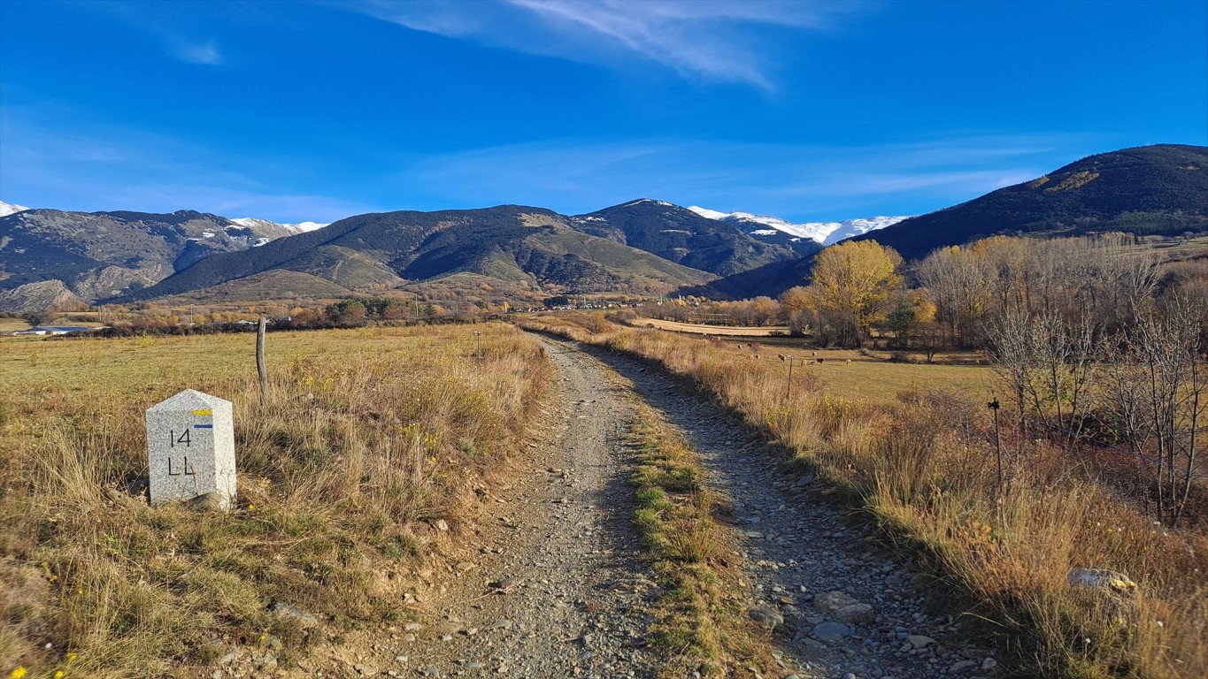
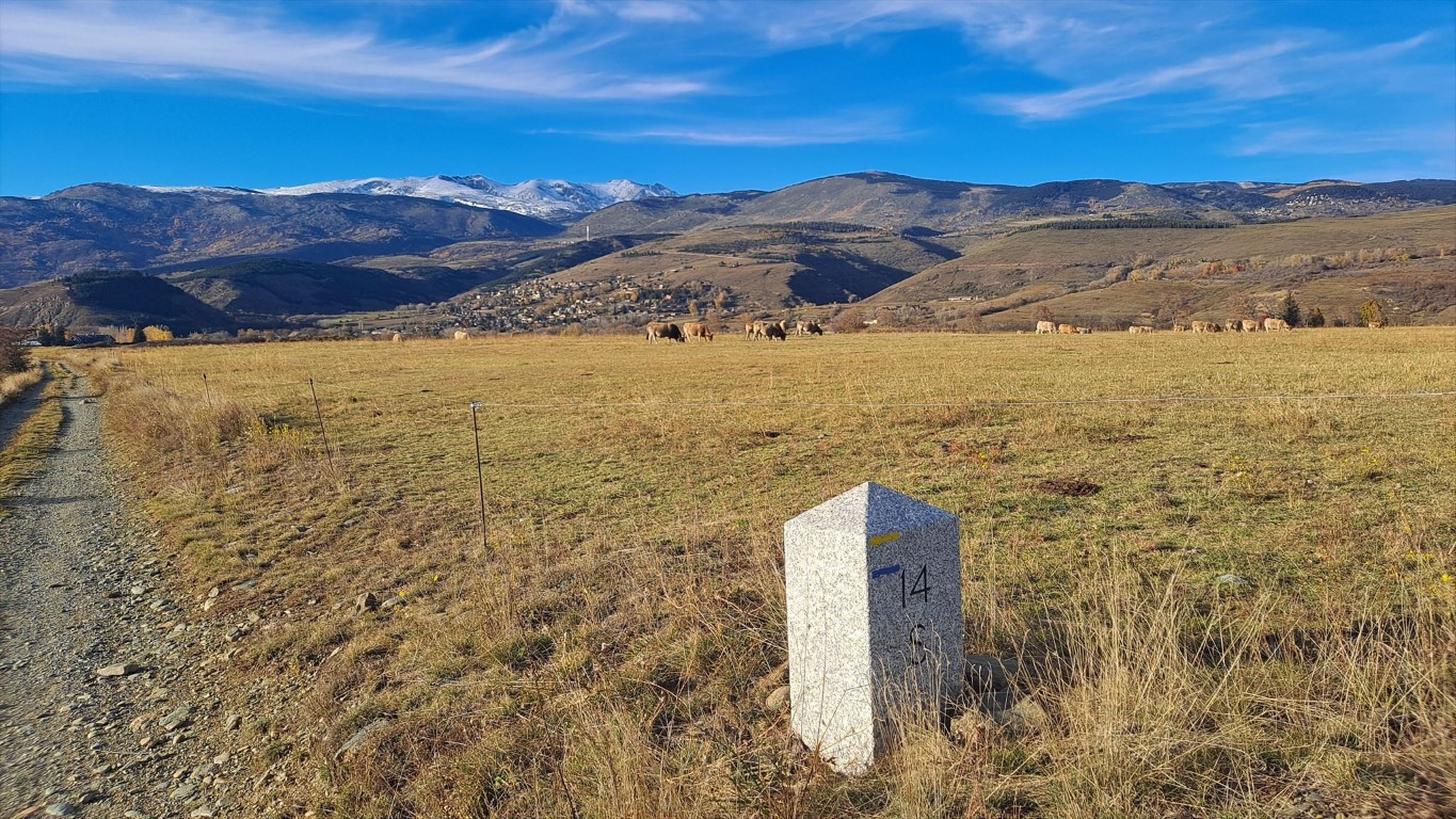
Border markers 14 is easy to find, along a path.
11 - 12 - 13
14
14
To my surprise this includes multiple markers that are in locations that are actually pretty hard to reach.
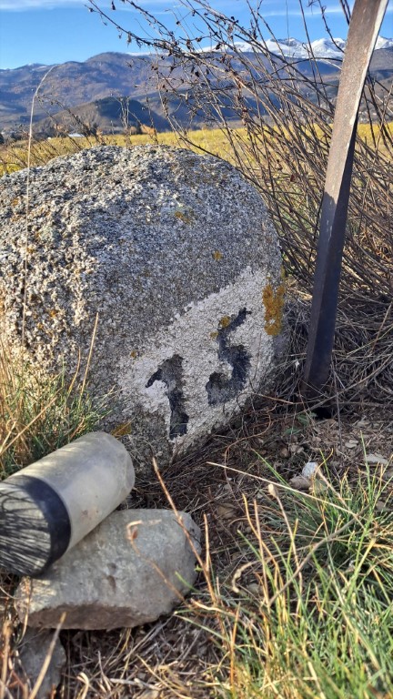
This is not the case for marker 15, it is easy to reach and the geocache is directly next to it.
15
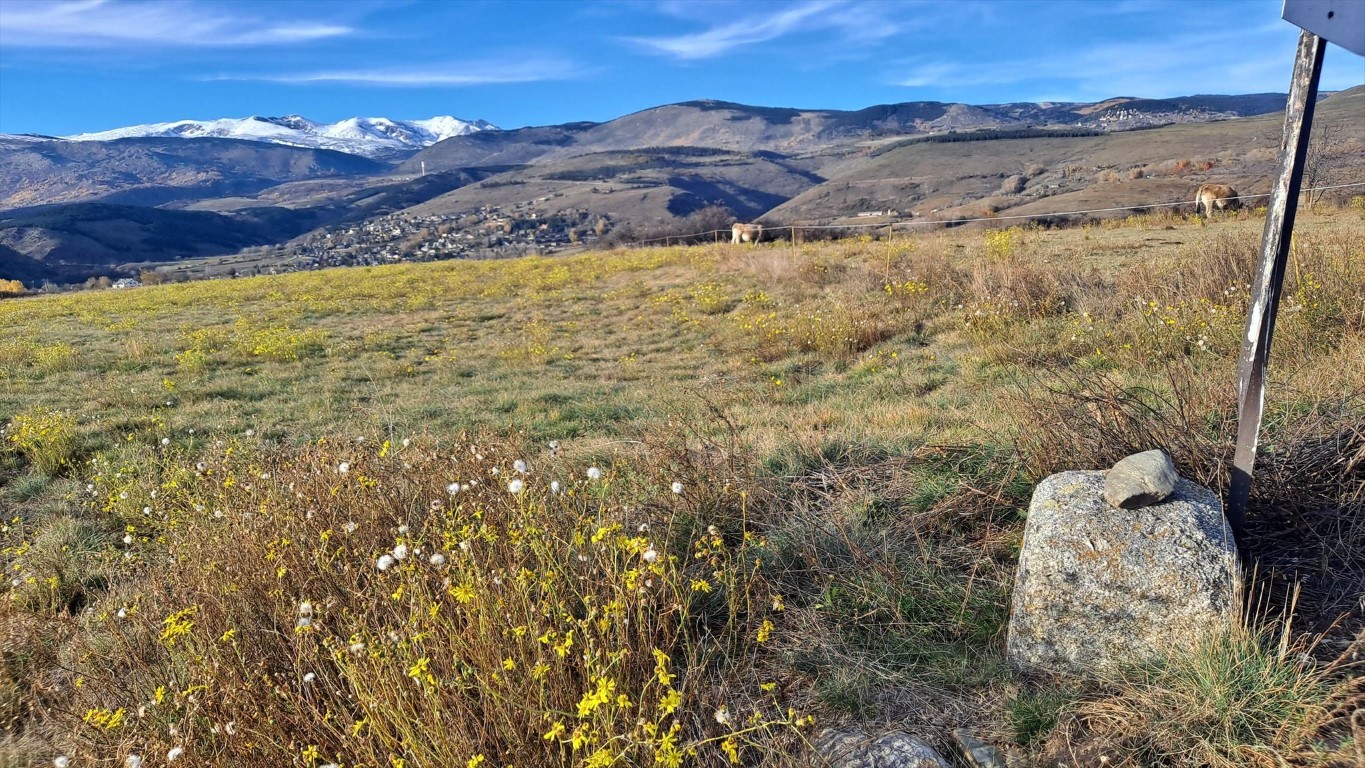
15
There are supposed to be two markers with number 16 on both sides of the road, but the nothern one has disappeared.
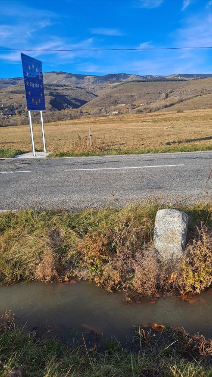
16
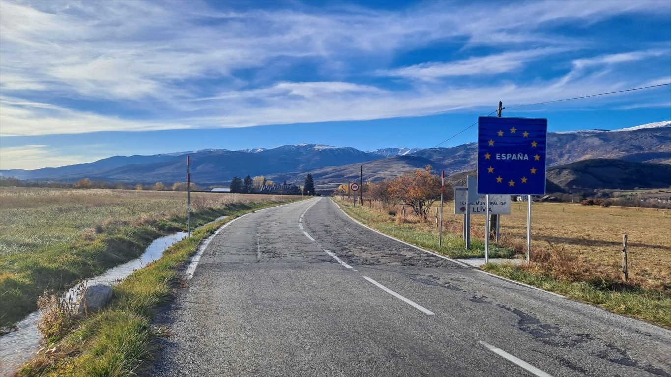
16
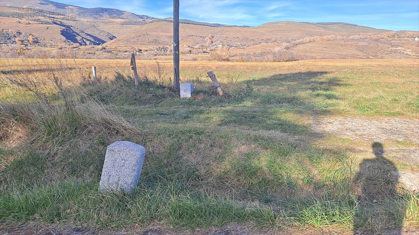
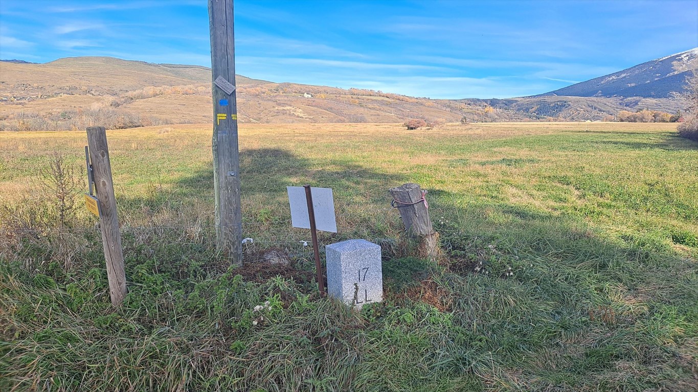
17
17
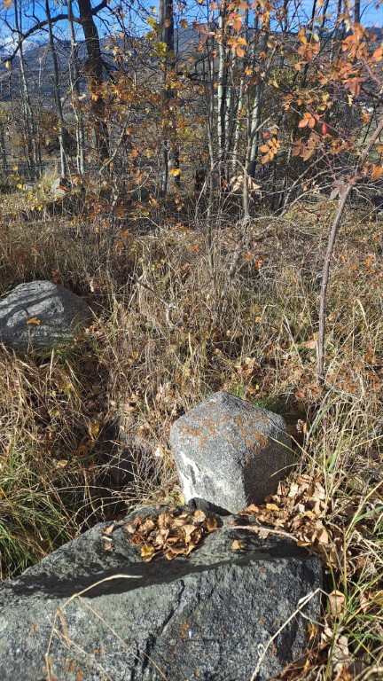
18
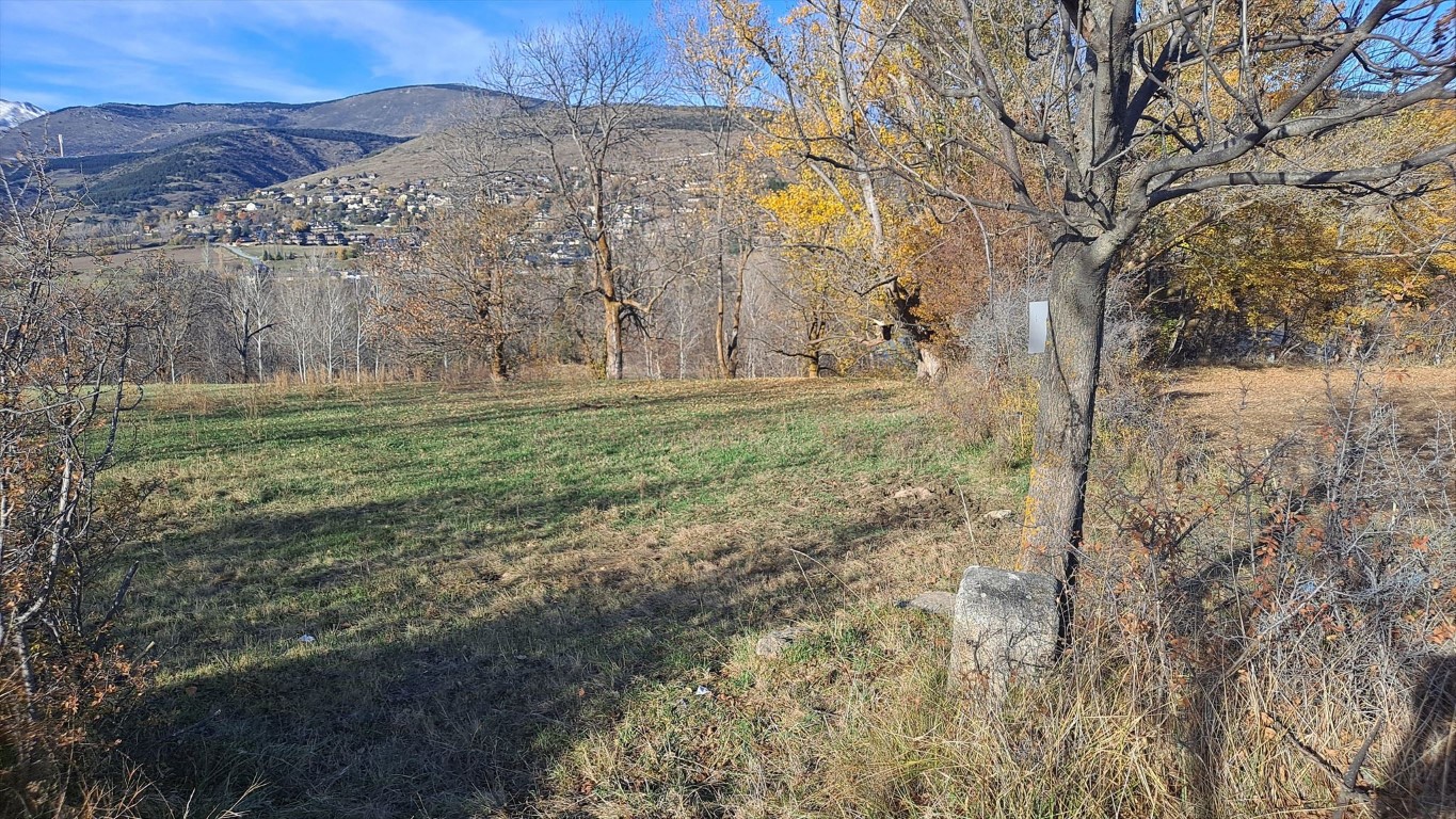
19
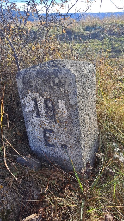
19
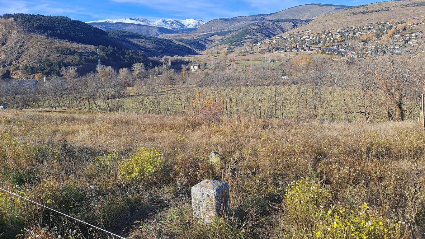
20
From here on the border will follow a stream towards the north.
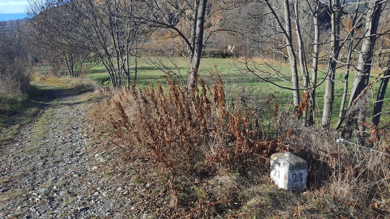
21
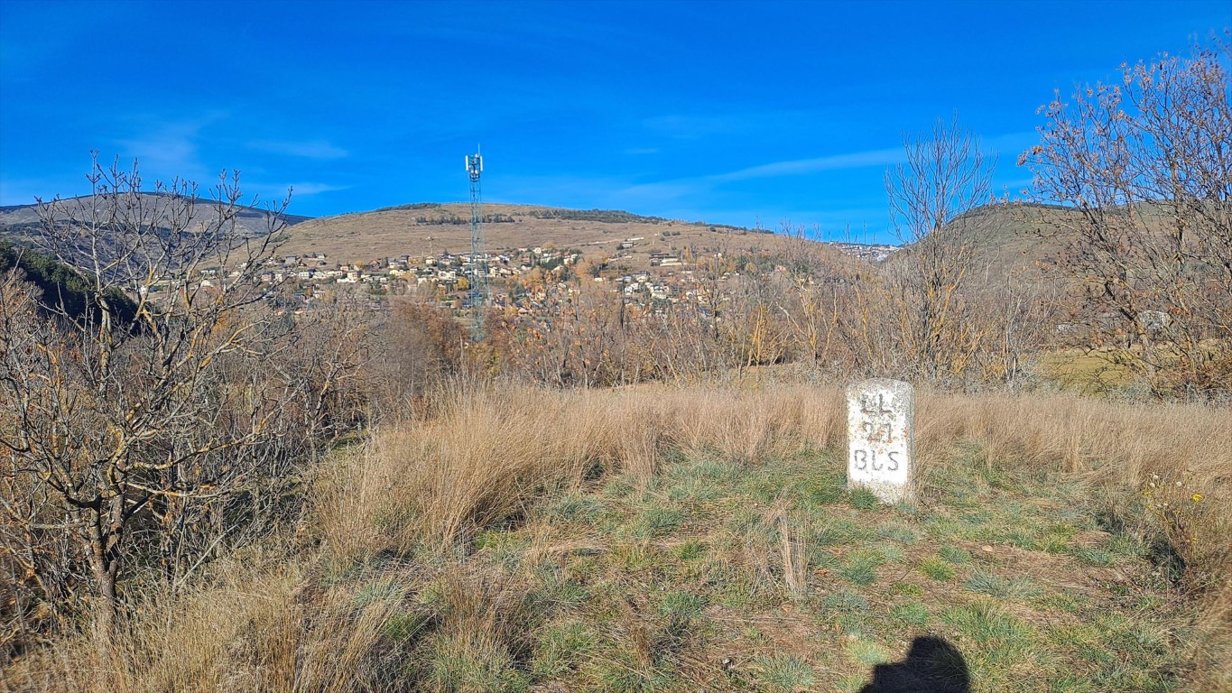
21-BIS
Marker 23 is on a path, about 300 elevation meters up from Llivia town.
22
23
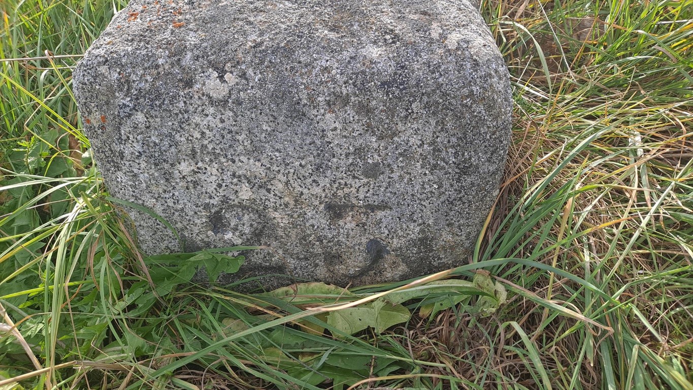
23
It is the first marker that is not a stone, but an inscription in an existing rock. Can be relatively hard to find in autumn.
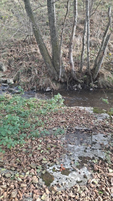
24
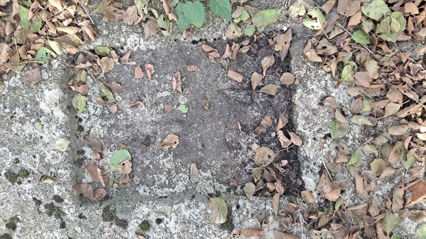
24
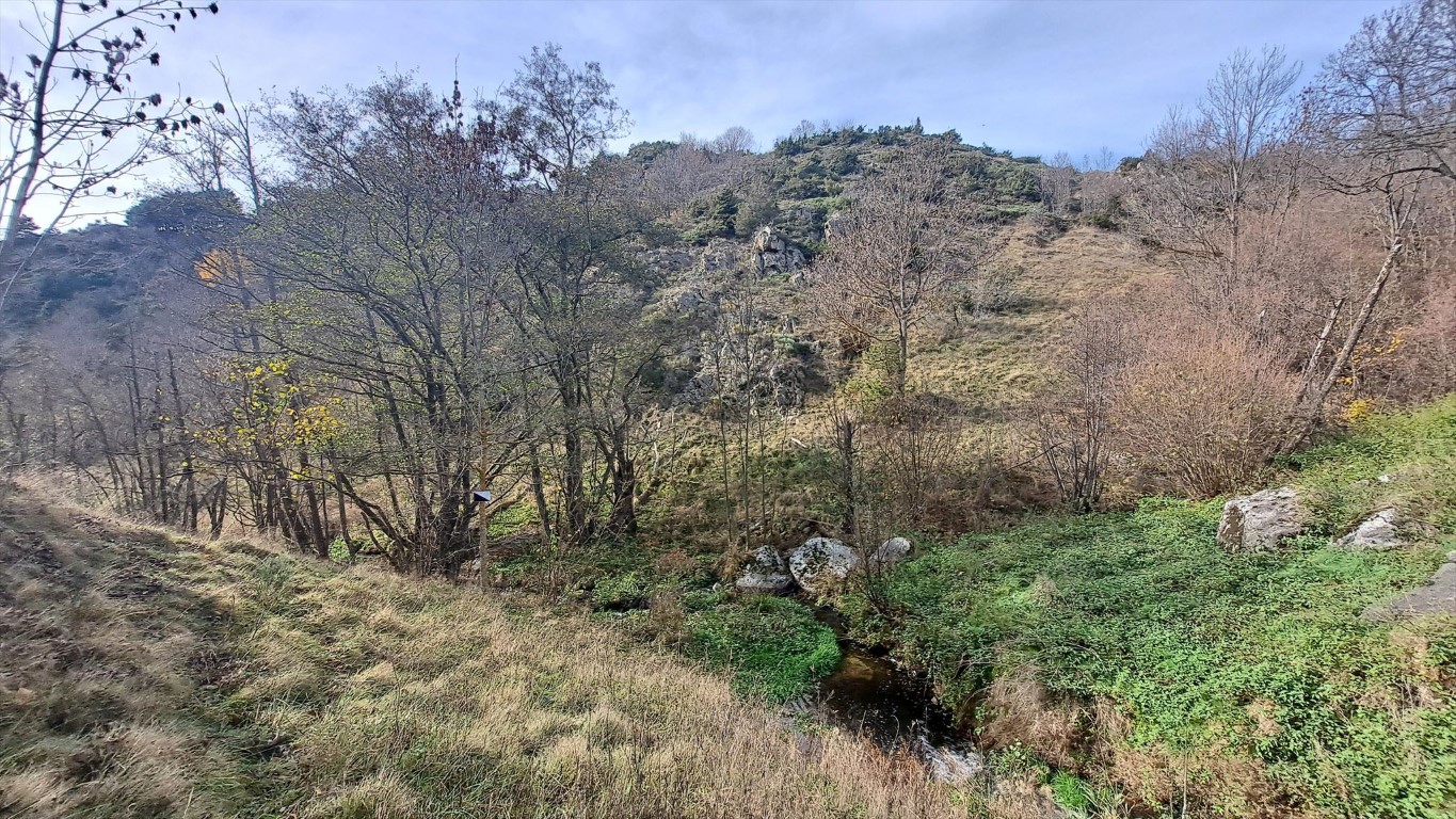
24
Marker 25 is probably in the heighest point of Llivia.
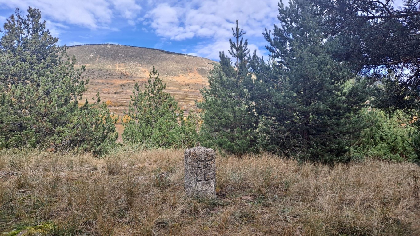
25
I can't find marker 27, despite searching quite long. It should be on a rock as well.
Probably the one I photographed based on the pictures Eef made before, but in that case the inscription is very hard to recognize.
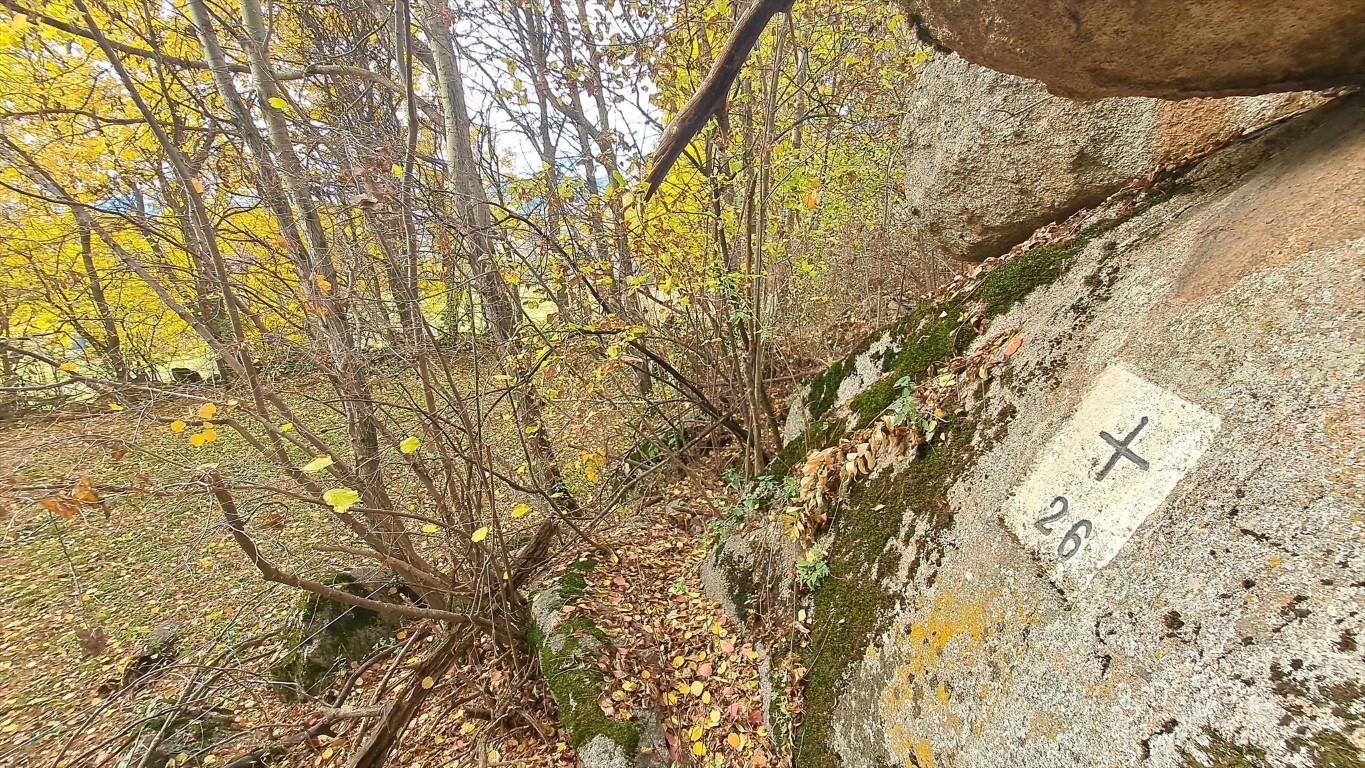
26
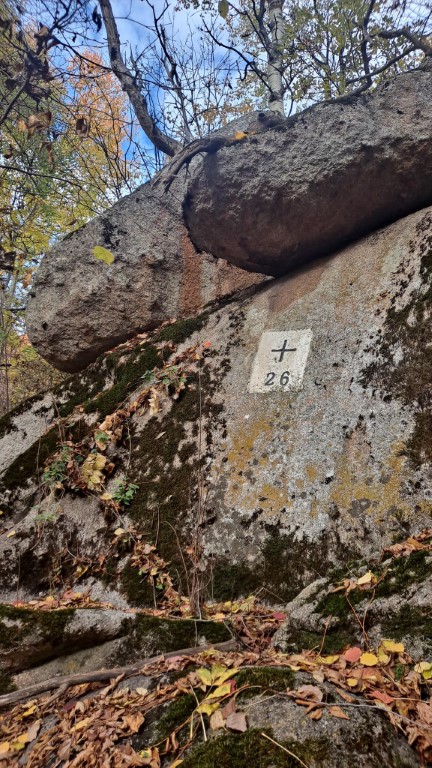
26
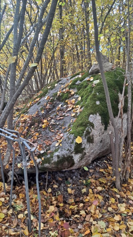
27
The original inscription is on top of it.
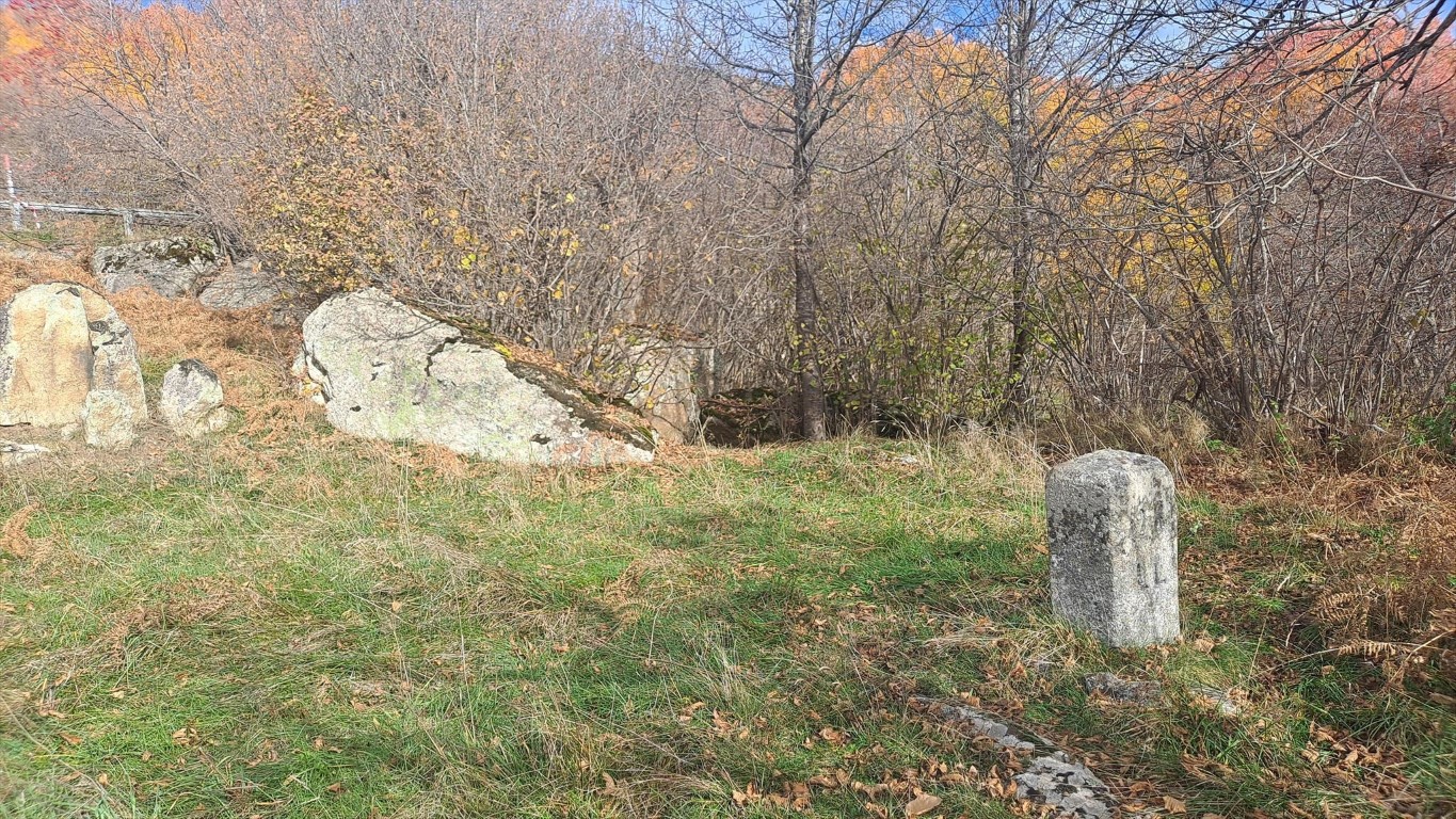
28
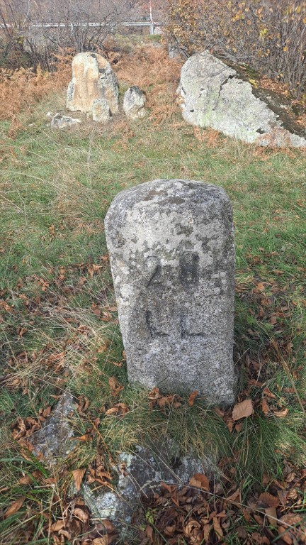
28
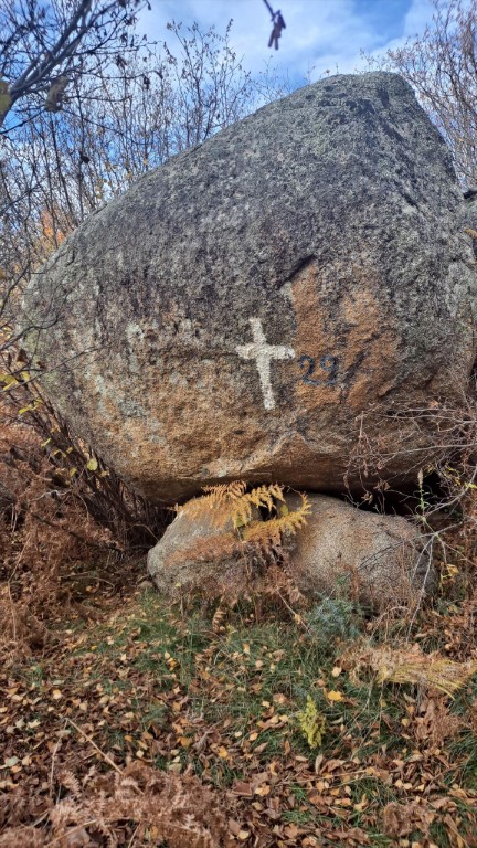
29
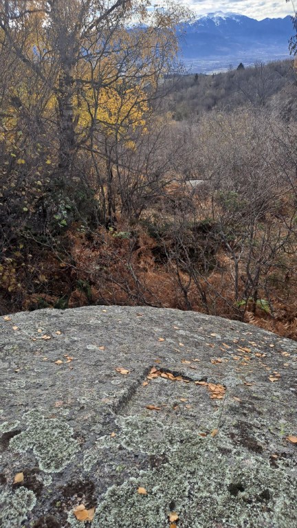
29
It takes me quite some time, but it pays off.
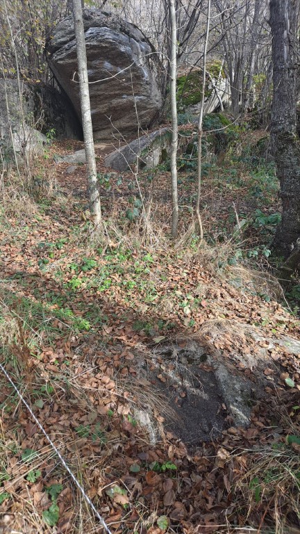
30
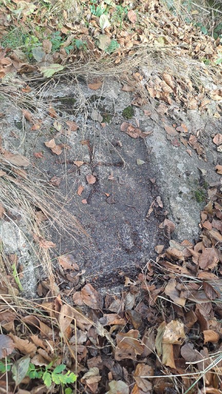
30
30
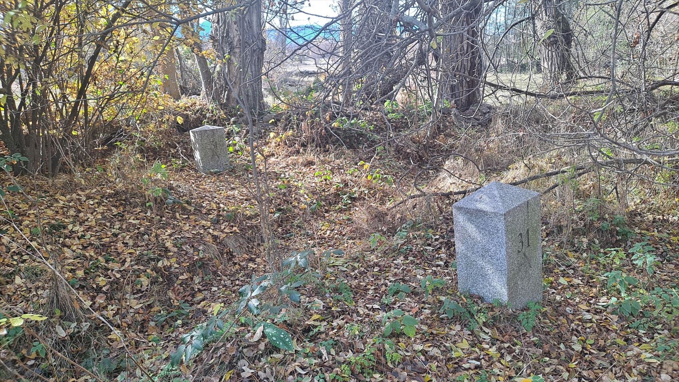
31
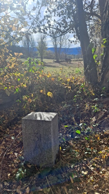
31
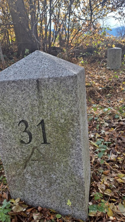
31
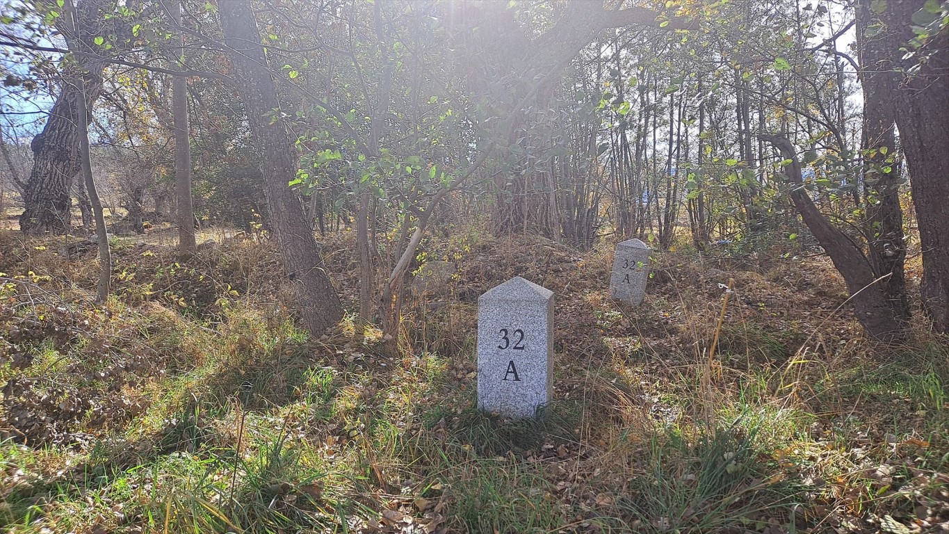
32
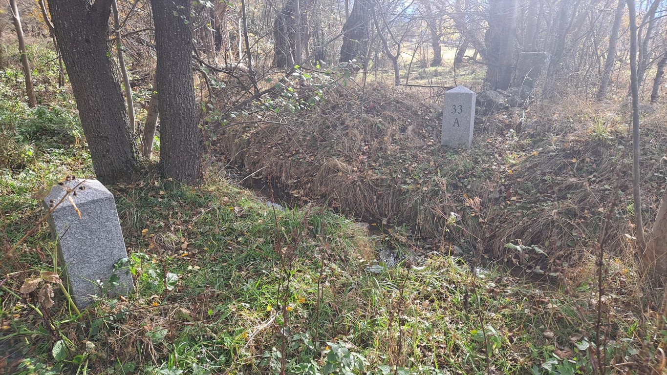
33
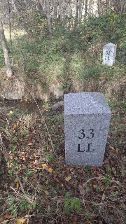
33
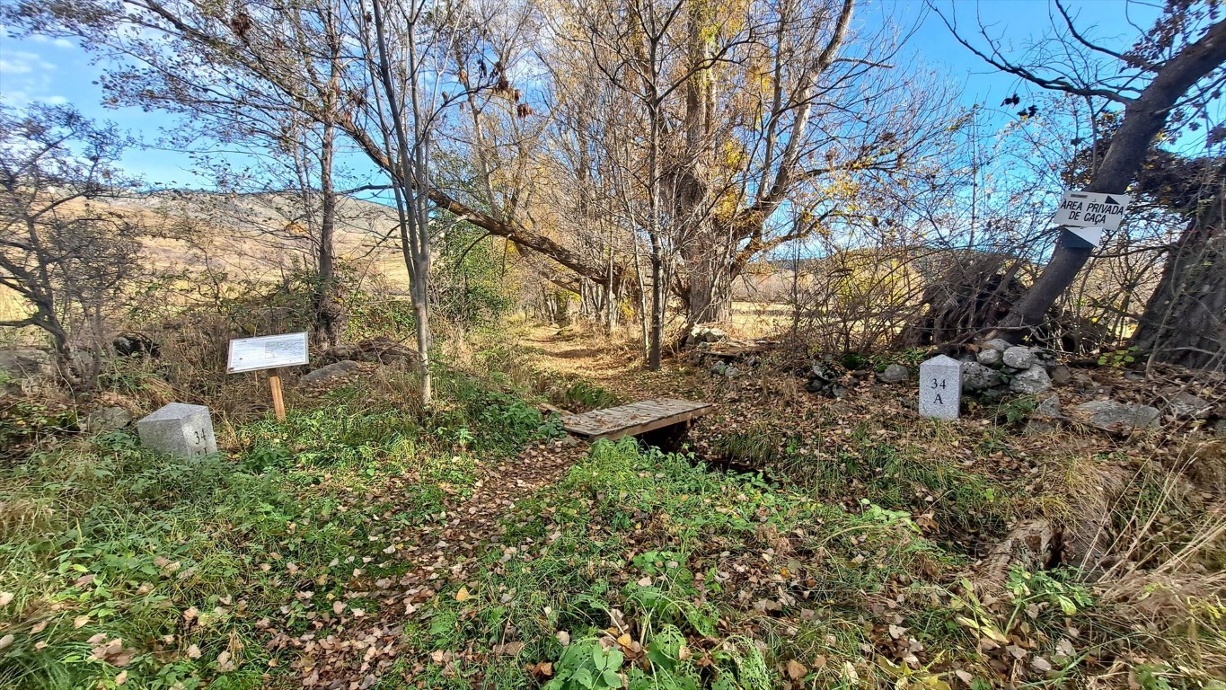
34
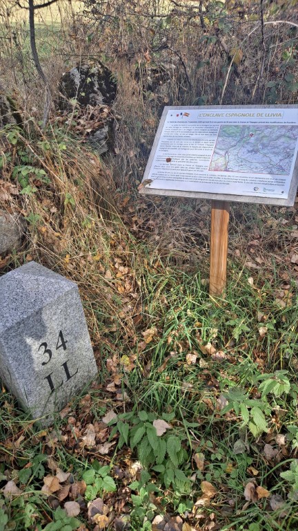
34
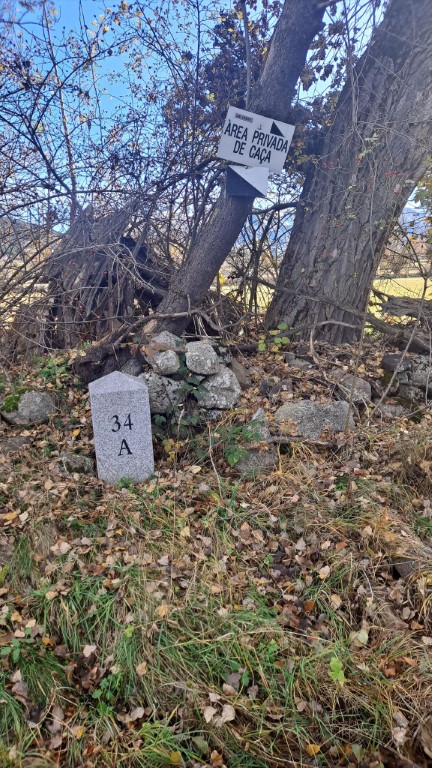
34
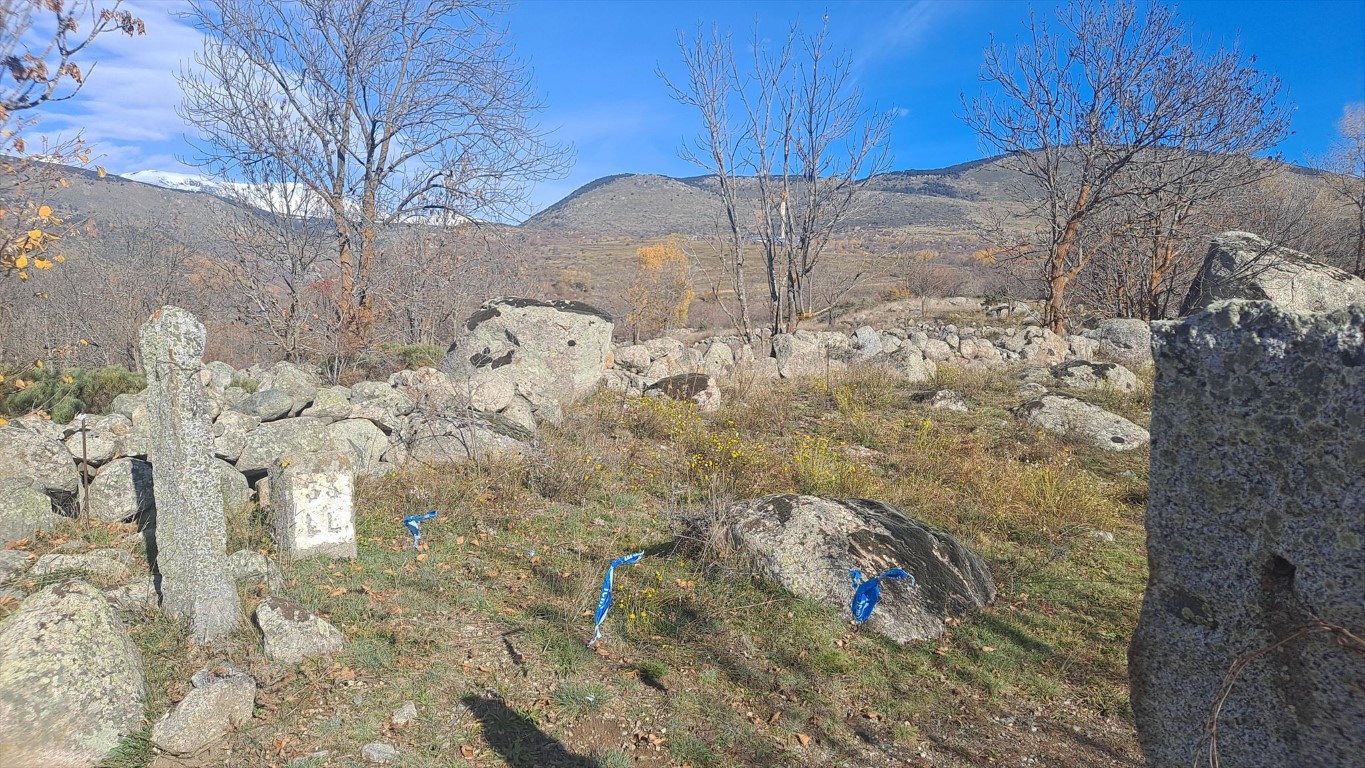
35
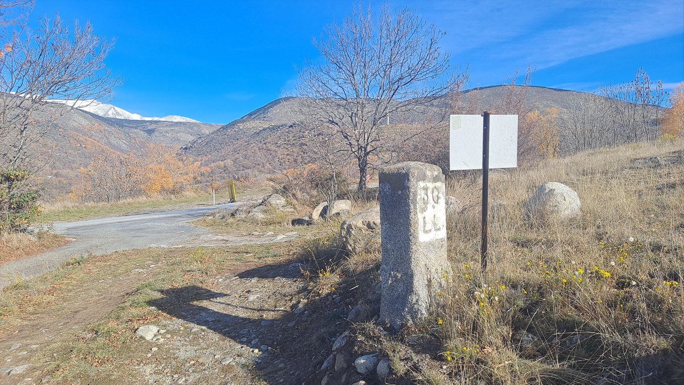
36
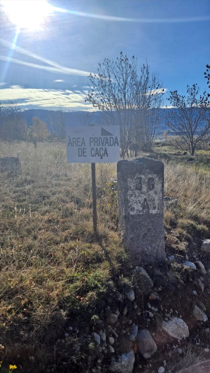
36
There is a terrace-like landscape, but the border crosses this more or less diagional, not taking the landscape into account at all.
The terrain contains lots of thorny shrubs.
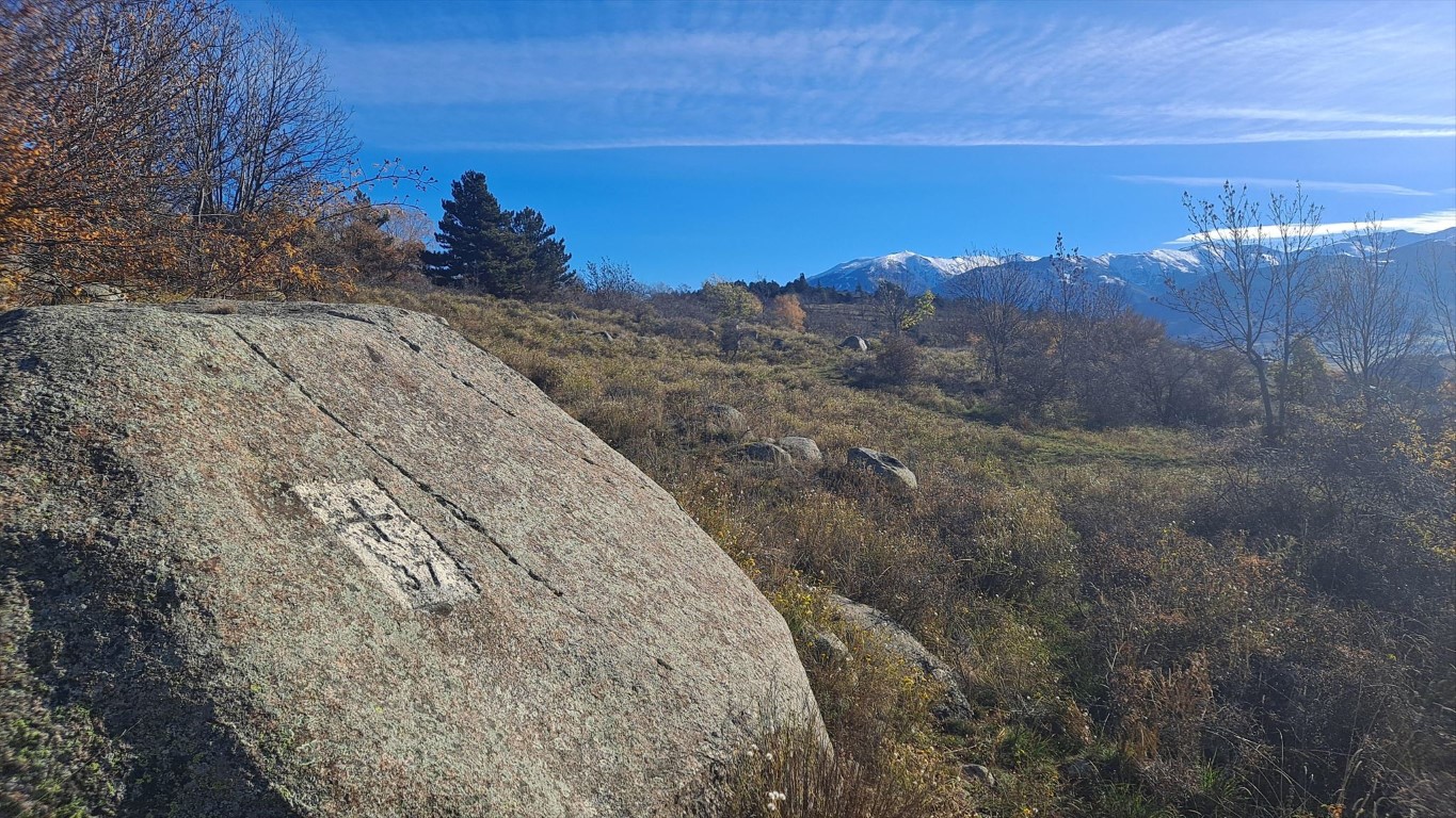
37
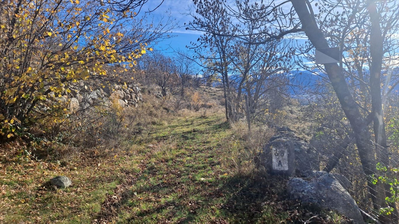
38
I guess it is much better to follow the slope north-south in a more straight line to 39.
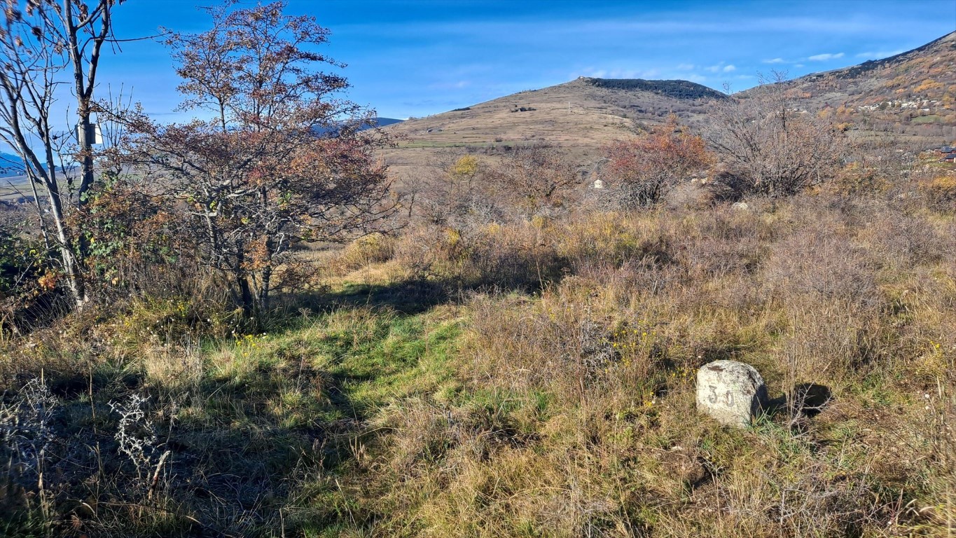
39
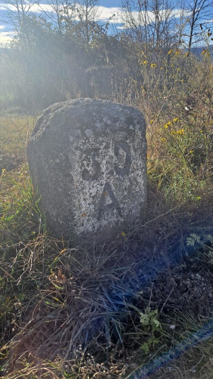
39
Marker 41 is a classic border stone along a path.
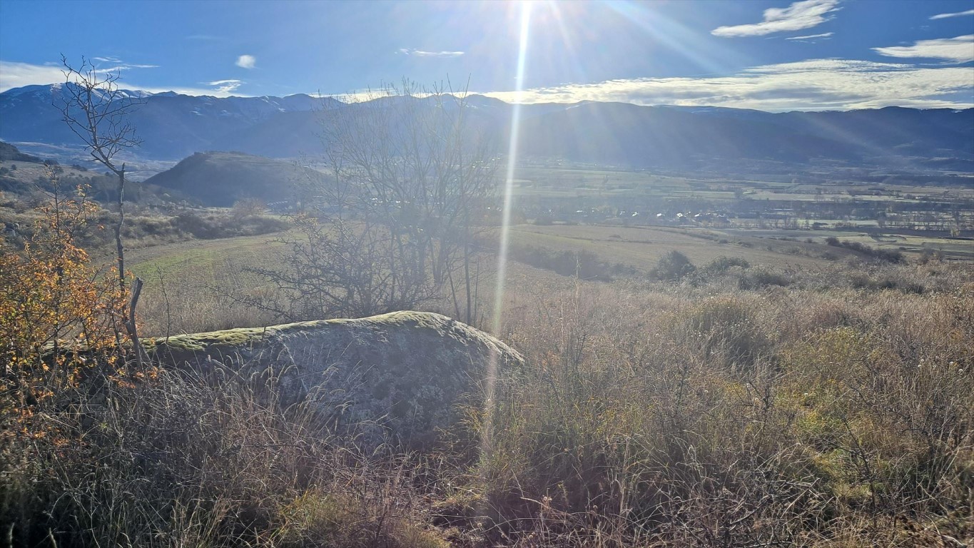
40
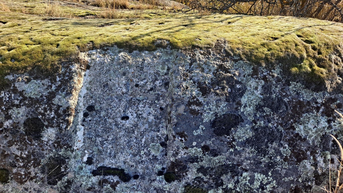
40
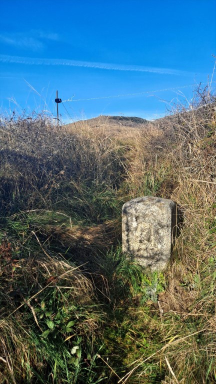
41
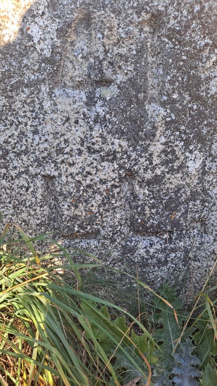
41
I did not visit marker 42, but I did visit marker 43 on the first day in this area: November 9th, 2025.
Marker 43 was much harder to reach than I had expected. I followed paths from marker 44, then reached marker 43 from the east.
42
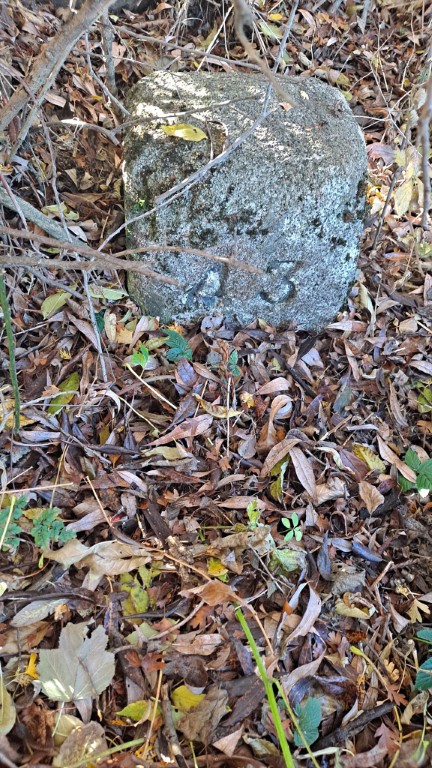
43
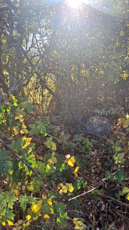
43
Marker 45 is somewhere inside the fields. It is the last marker at the border of Llivia, but I did not visit it.
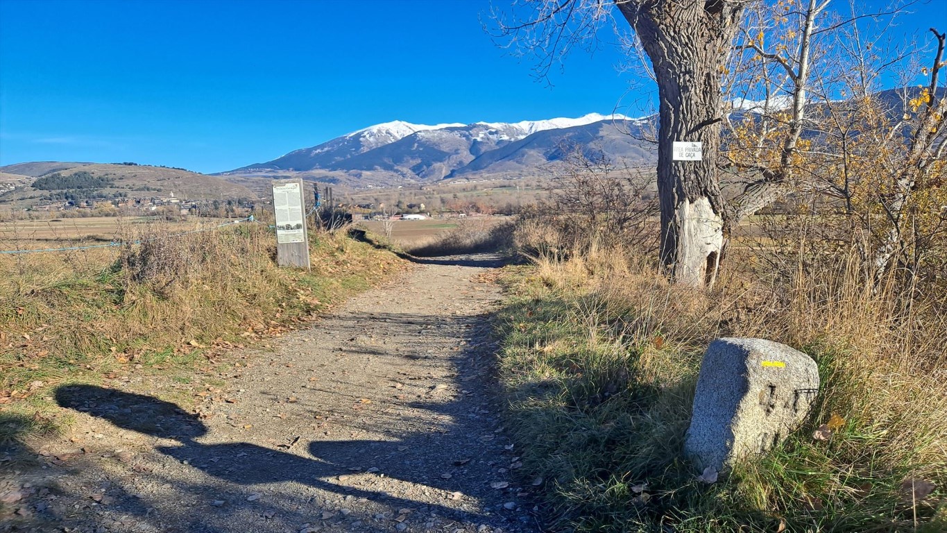
44
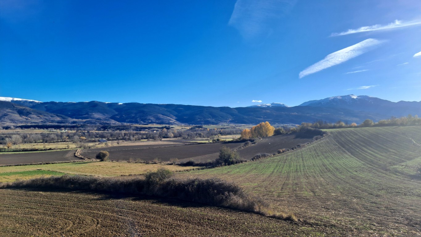
45
Along the road leading from France towards Llivia is an old stone, not far from the buildings of Llivia.
This stone, "Pedra Dreta" according to a geocache description, is very old, it is possible that it has been used by the Romans already.
It is not quite clear to me of this stone was on the location of the current border marker 1 originally.
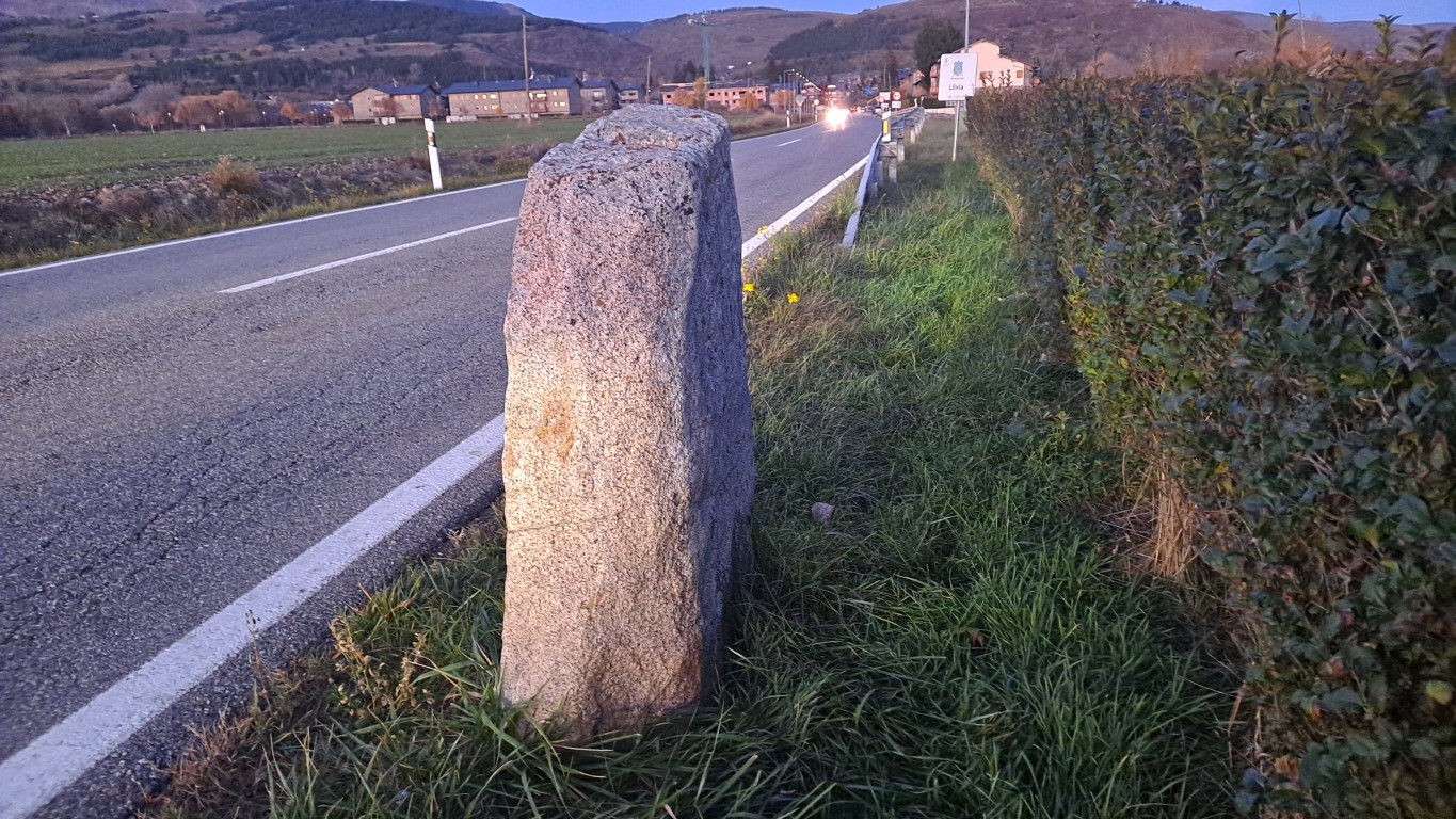
Pedra Dreta
On November 11th, 2025 I am leaving Llivia again and on my way to the train station of Puigcerda I pass this bridge, where two markers with number 480 can be found.
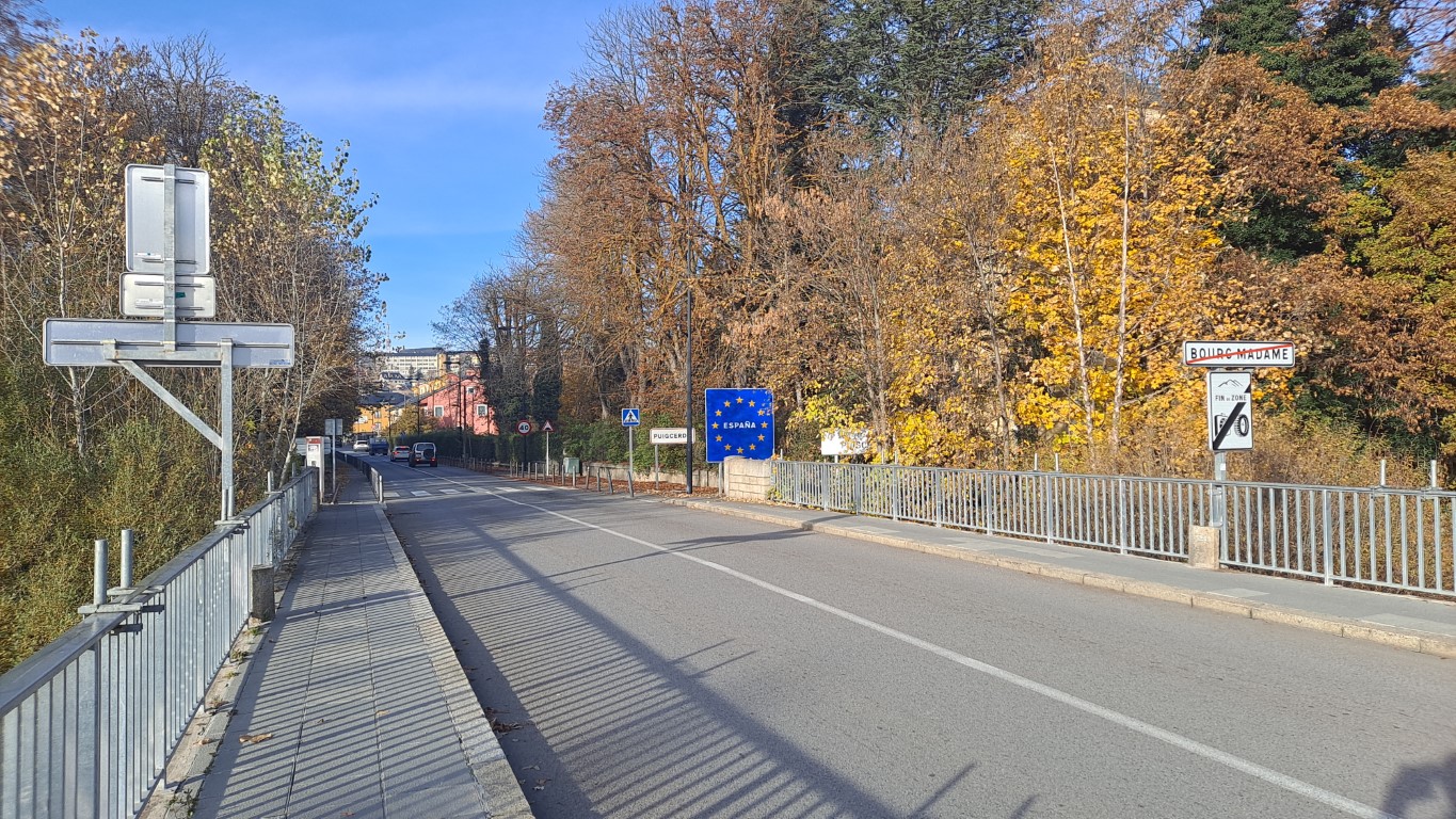
480
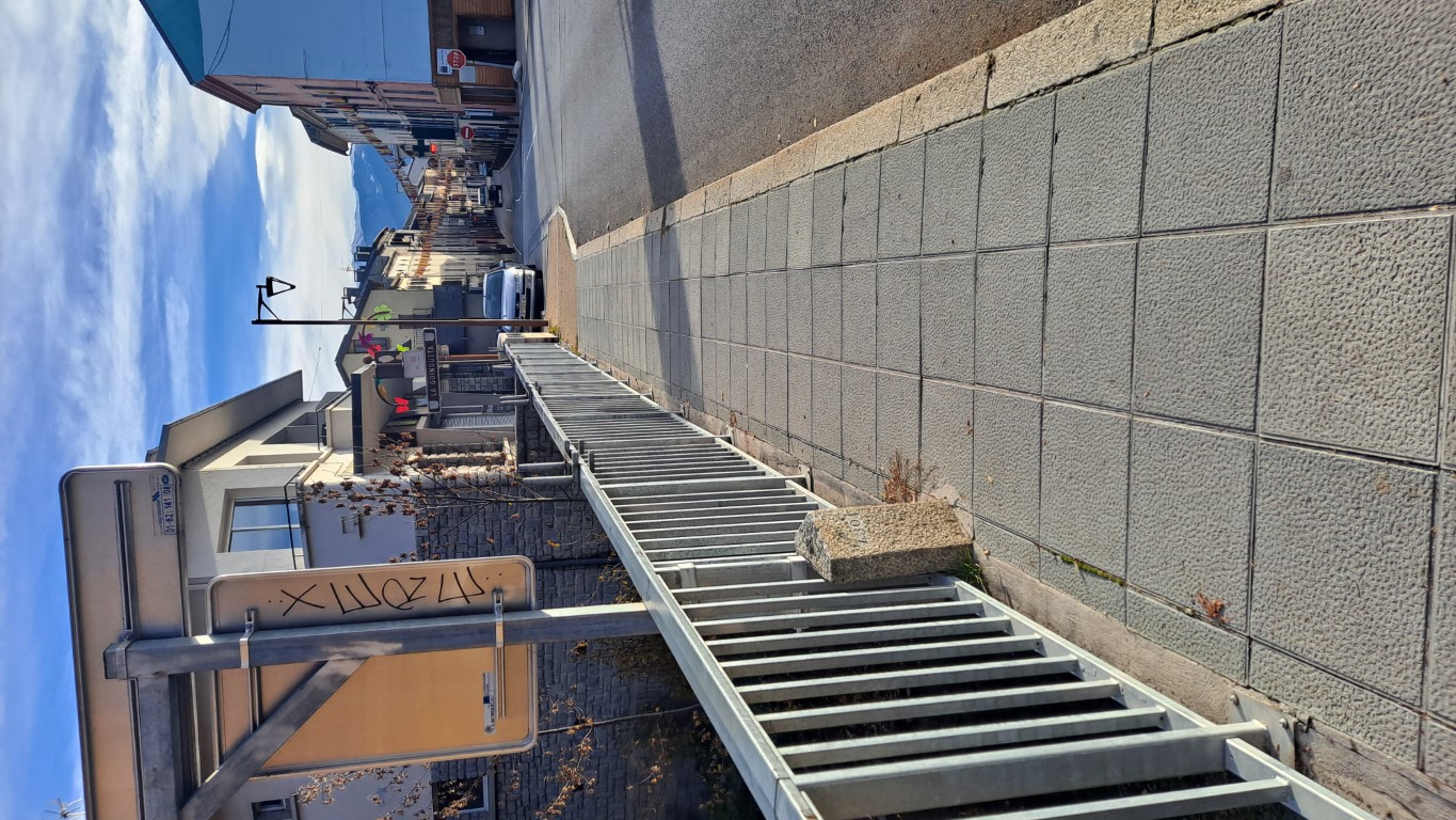
480
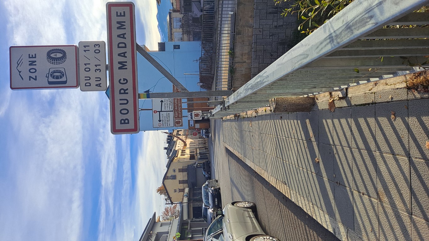
480